
Choose your workflow
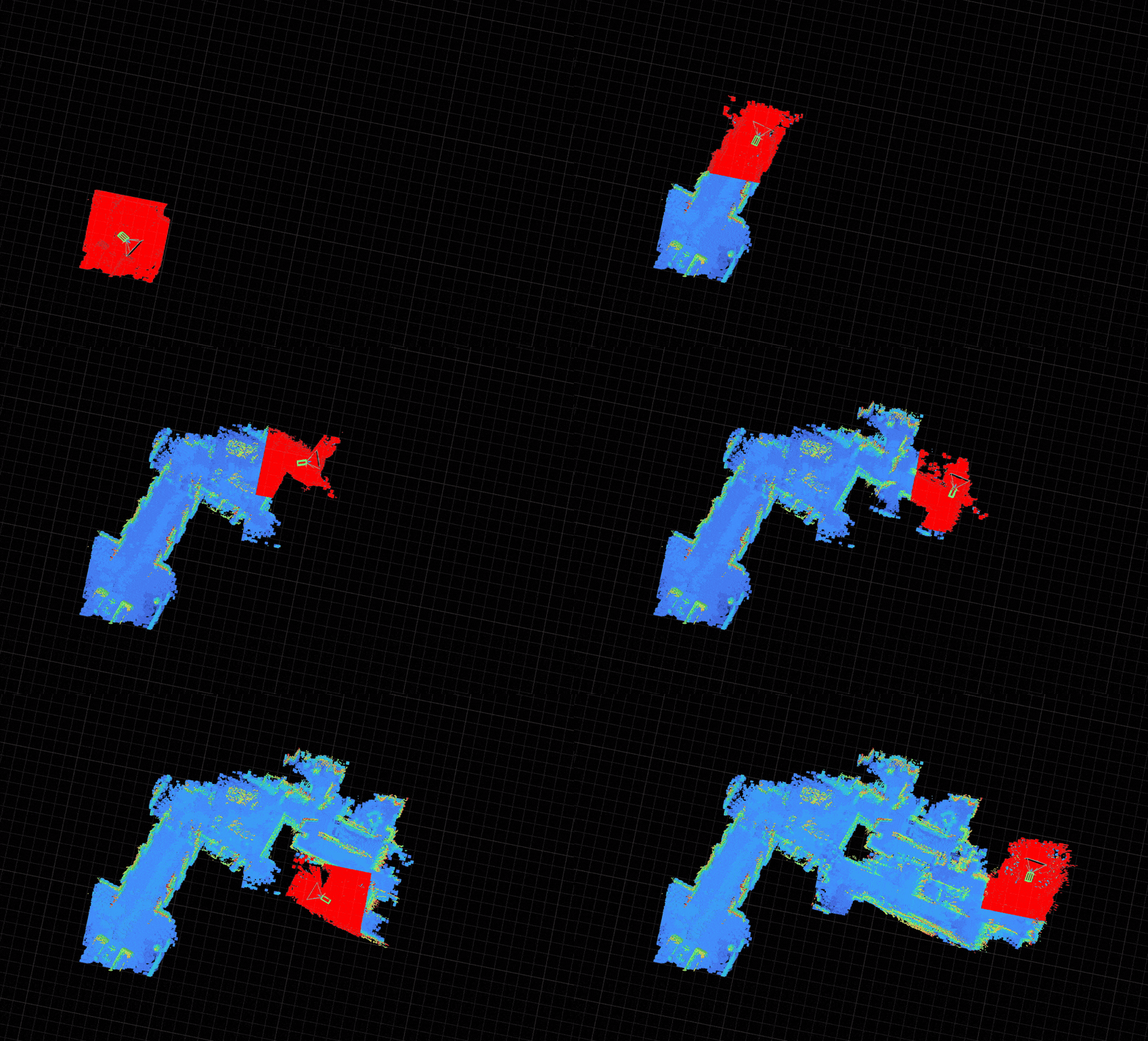
Live column-carving maps are fast and reactive, but odometry drifts over long distances. For spaces you revisit, record once, run pose-graph optimization (PGO) offline, then relocalize against the exported premap at runtime.
For hardware setup, simulation, and the full blueprint list, see the Go2 platform guide.